Projects / Photogrammetry
Photogrammetry
Image-based maps and 3D models can help teams document a place, compare changes, and communicate site conditions.
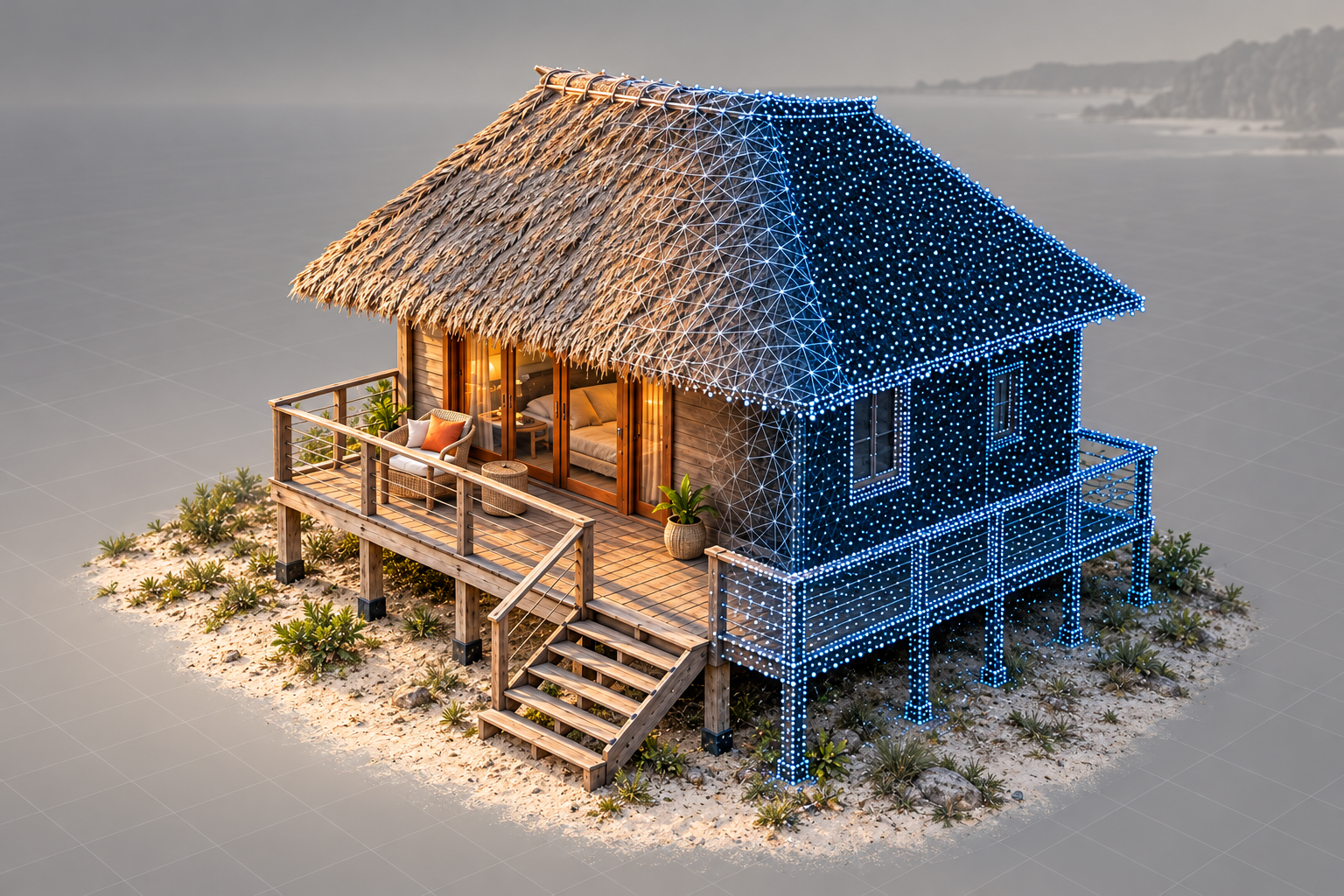
Purpose & applications
See the site. Understand the change.
- Construction progress: compare dated site captures around agreed milestones.
- Site documentation: bring building and ground detail into a visual reference.
- Reconstruction and public-service applications: discuss the specific purpose, evidence requirements, and specialist expertise needed.
From method to a useful result
A project could include
01
Dated site imagery organized for milestone comparisons.
02
An image-based map or 3D model, with suitable reference information.
03
A concise explanation of the output, its intended use, and limitations.
Outputs are agreed to suit the project, available data, and availability.
Start with what
needs to happen.
Start with the site, the question, and the decision the output should support. Agree the imagery, reference information, detail, and deliverables before choosing a capture or processing method.
Discuss a photogrammetry project →