Home / What We’re Building
What We’re Building
What We’re Building
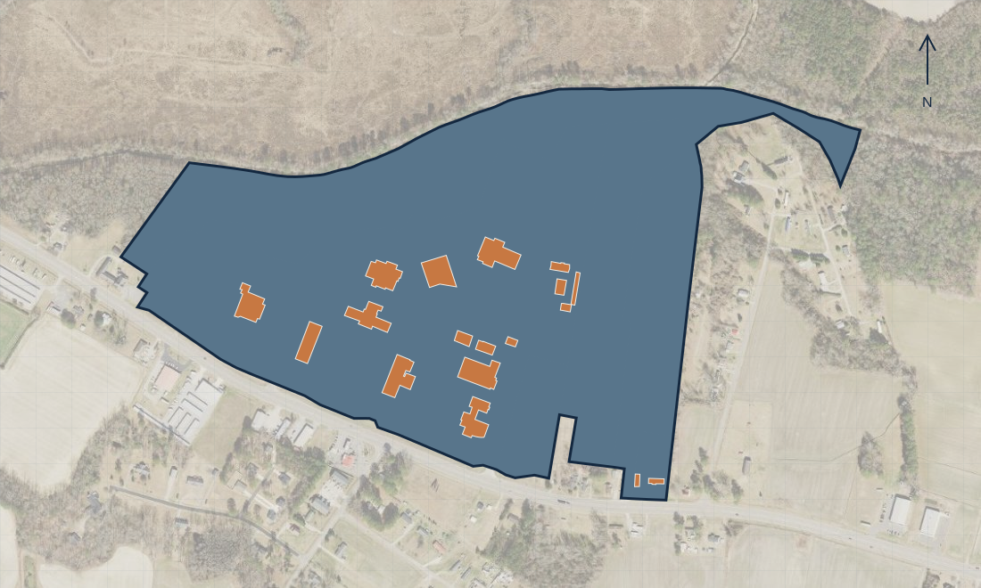
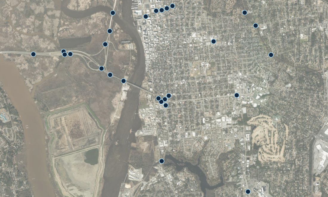
Explore working examples of how geospatial information can support a practical task. Further down, see the ideas still being developed.
Applied technology
Design & Development
Turn imagery, records, and technical ideas into practical outputs. Each project begins with a clear purpose and agreed scope.
Photogrammetry
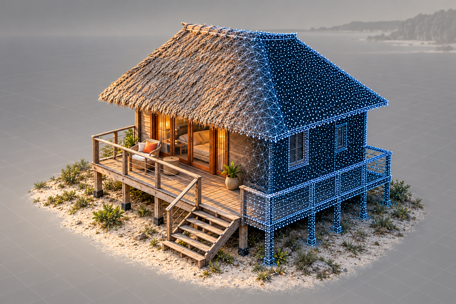
Image-based maps and 3D models for site documentation and construction progress. Other reconstruction applications are in development.
Explore applications →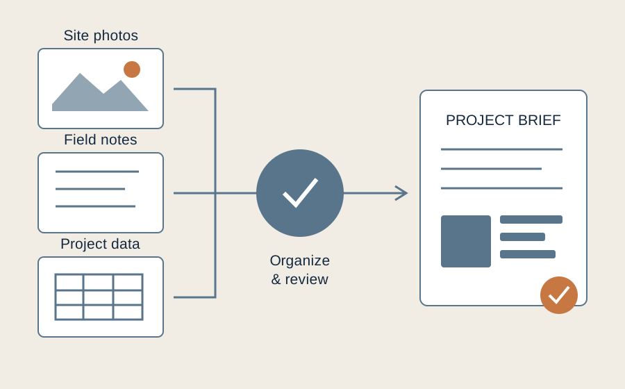
Applied AI & digital tools
Organize project records, assist with summaries, and prepare useful briefs—with human review throughout.
Explore applications →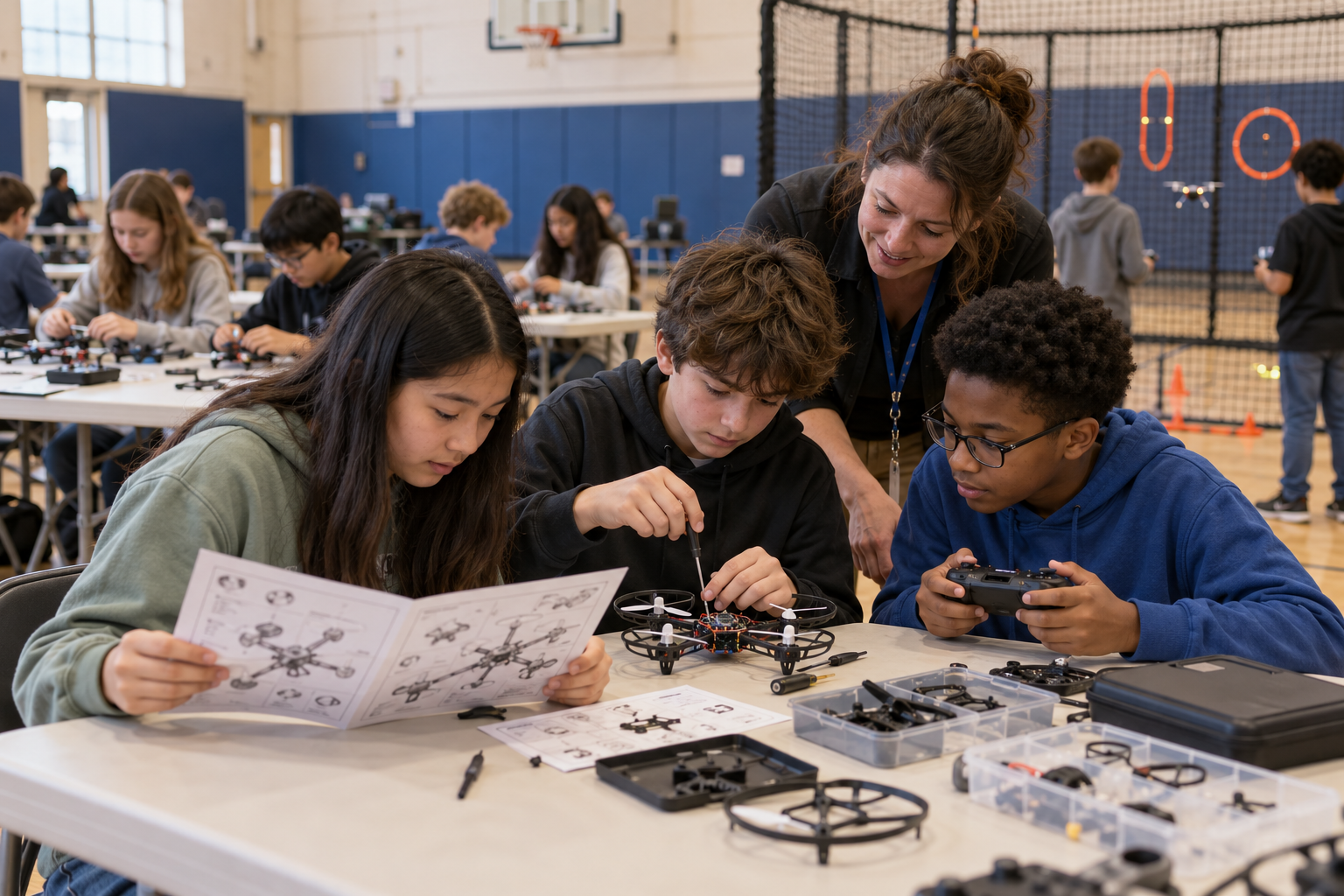
Applied STEM & Technical Education
Connect drones, spatial thinking, and technical skills through hands-on activities shaped around the learners.
Explore applications →Follow the thinking.
Connect around a practical question, a developing method, or a potential project.