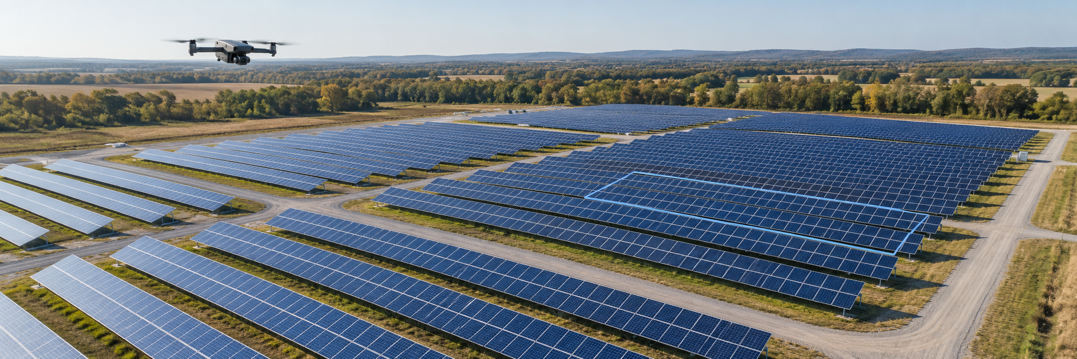
 Solar-site visual inspection illustrationDiscuss your project
Drone mapping & visual inspection
Challenge:You need a clearer view of a site, structure, or asset.
The work
Plan aerial imagery capture around your mapping or visual inspection needs. Agree the areas to document, site access, and required level of detail before defining the scope.
The useful result
Organized aerial imagery and visual documentation to support mapping, inspection review, and follow-up decisions, with deliverables agreed in advance.
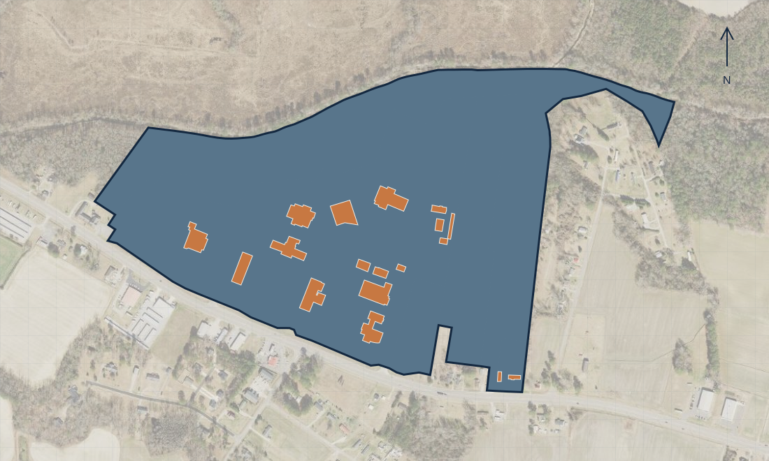 Campus mapping exampleDiscuss your project
GIS & spatial analysis
Challenge:Your location information is scattered across files.
The work
Bring suitable layers and records together, check their context, and present the relationships in a usable view.
The useful result
A focused map or project view that helps people locate, compare, and discuss the work.
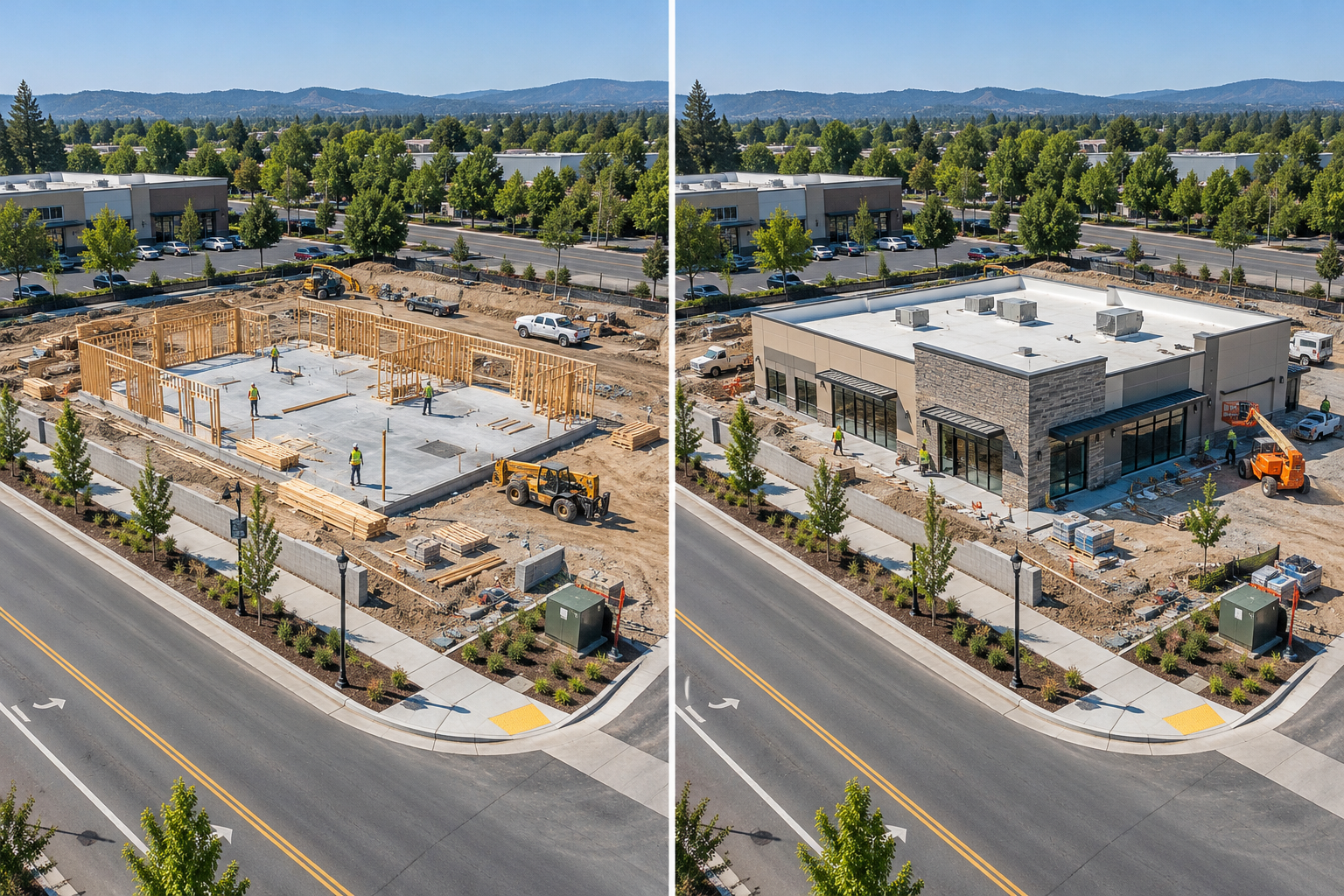 Illustrative site change · earlier / laterDiscuss your project
Photogrammetry & construction progress
Challenge:You need a consistent visual record of how a site changes over time.
The work
Plan repeat imagery, image-based mapping, or 3D reconstruction around project milestones. Agree the method, reference information, and processing needs before work begins.
The useful result
Dated maps, visual comparisons, or 3D models to support progress discussions, with outputs matched to data quality and agreed scope.
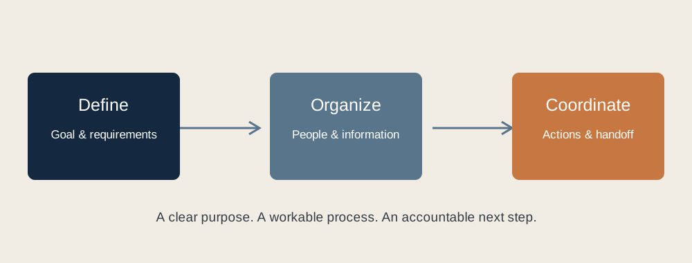 From project goals to a coordinated handoffDiscuss your project
Workflow design & program support
Challenge:People, records, and handoffs are difficult to coordinate.
The work
Clarify the process, responsibilities, information needs, and next steps with the people doing the work.
The useful result
A practical workflow, project brief, or supporting documentation that makes the handoff clearer.