Smart Flights.Smarter Futures.
We connect geospatial information, technology, and practical workflows to help people understand a site, organize project information, and make the next handoff clearer.
and capabilities.→What We’re BuildingDiscover projects,
research, and innovations.→Let’s CollaborateBusiness, education,
research, and partnerships.→
REAL DATA
REAL POSSIBILITIES
Give project information a purpose.
Bring project maps, records and questions into a clear view your team can use.
Start with the task: understand a site, organize its information, or prepare a better handoff. Choose the tools and outputs to fit.
Explore the approach →See the work in practice.
Explore how location data supports campus planning and infrastructure site preparation.
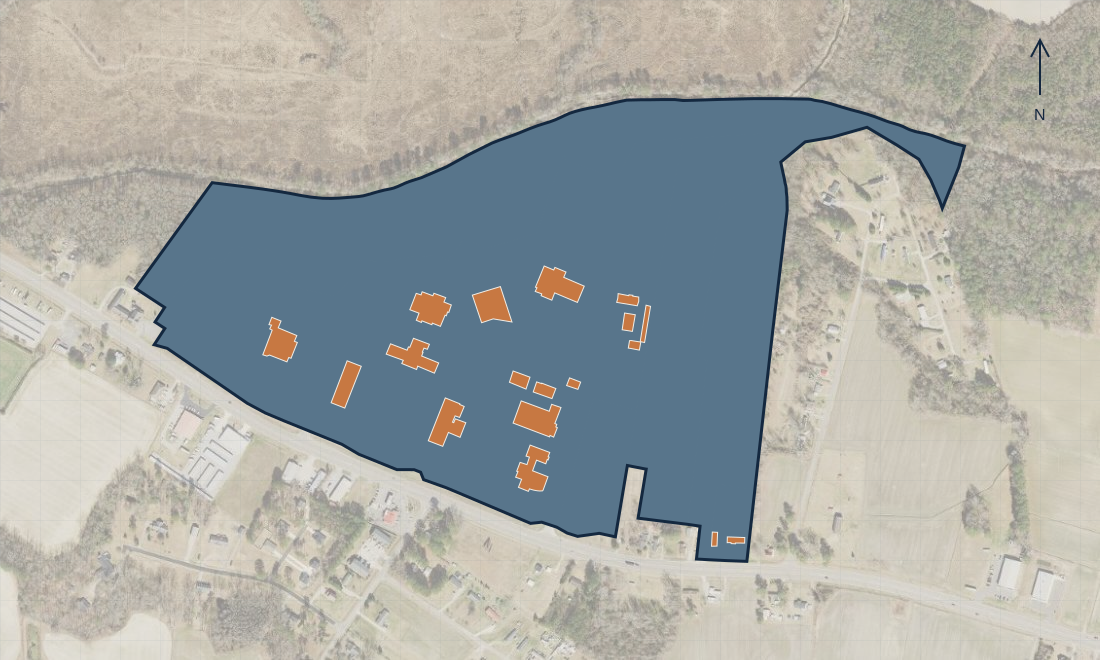
College Campus GIS ↗
Buildings, parcels, and site context brought together to support campus project planning.
Infrastructure / Visit planning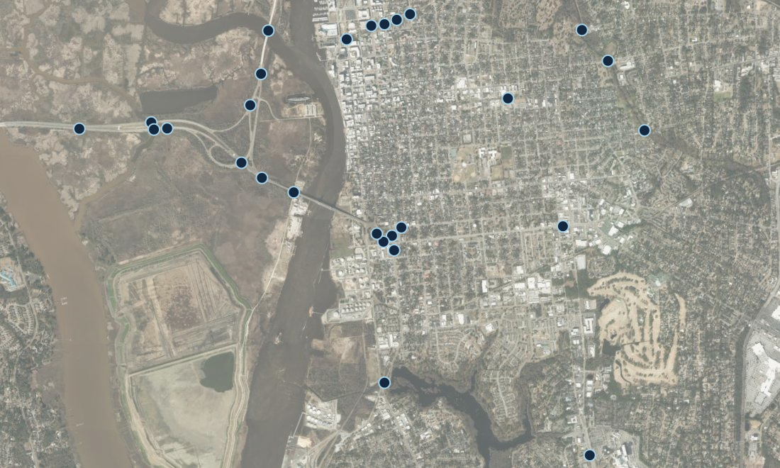
Infrastructure Site Planning ↗
Define the project objective, organize relevant location data, and prepare a site visit brief.
Charlie Sutherland
Program experience. Clear workflows. A geospatial focus.
MetricsIQ founder Charlie Sutherland connects people, processes, and technology. Her experience spans information technology, program management, training coordination, and workflow design, with a growing focus on GIS and drone mapping.
Meet Charlie →Discuss your project
Email a short description of your site, project goal, and the help you need. Charlie will follow up to discuss fit and scope.